
Street View 360 Downloader
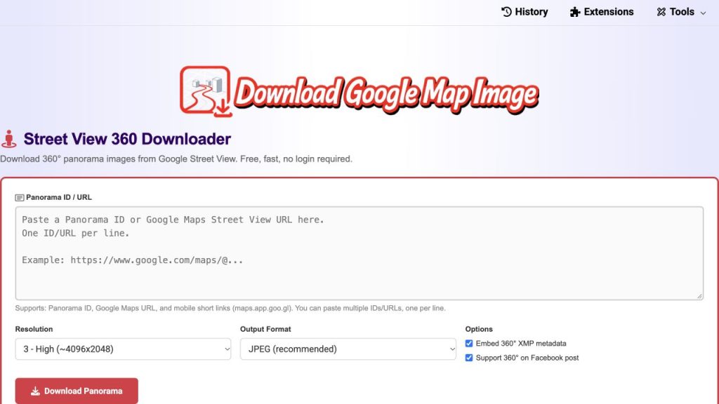
A browser tool for turning Street View links into panorama files, with batch input, resolution controls and optional 360-degree metadata.
Why I built it
I’m an indie developer from Vietnam. I kept running into the same small frustration: Google Street View has amazing 360° imagery, but there is no simple way to save a panorama as a real file. Screenshots only capture a flat slice, and most existing tools either need an API key, a desktop install, or a paid plan. So I built a free web tool that does one thing well: turn a Street View link into a complete panorama image.
How it works
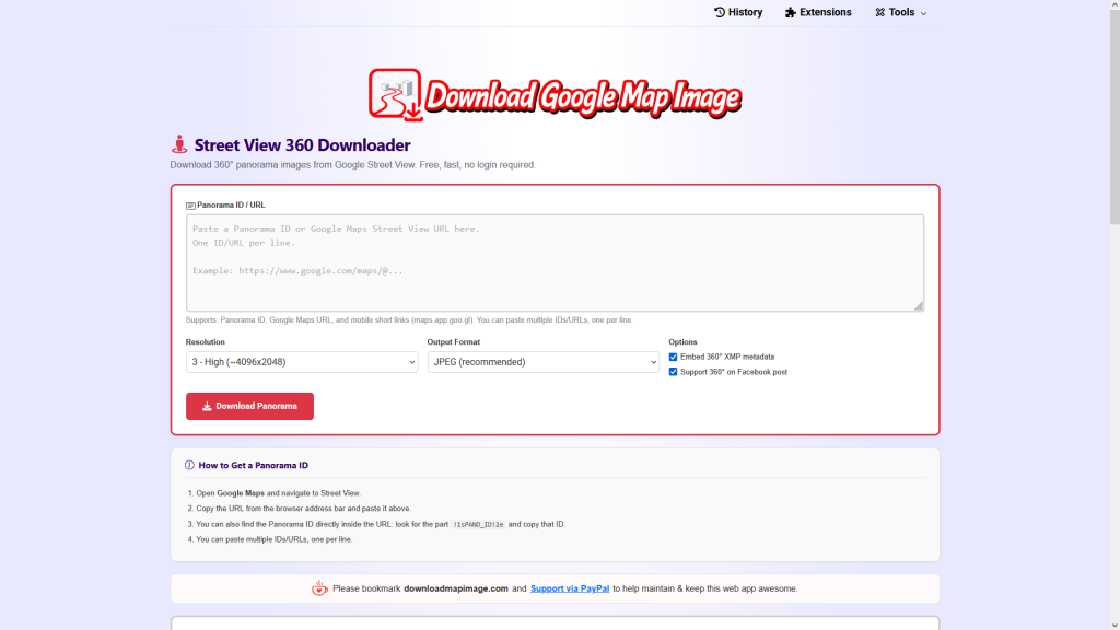
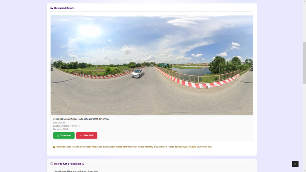
You paste a Google Maps Street View URL, a raw Panorama ID, or a short link shared from the Google Maps mobile app. The server resolves short links, then the tool fetches every tile of the panorama and stitches them in the browser into one equirectangular image. You can watch the tiles assemble in real time.
You choose from six resolution levels, from a light 512×256 preview up to the maximum available, which can reach 16384×8192 on recent official coverage. Output can be JPEG, PNG or WebP, and JPEG is saved at full quality.
What makes it different
- Optional GPano XMP metadata is embedded in the file, so VR viewers and Facebook recognise it as an interactive 360° photo instead of a stretched flat image.
- Batch mode: paste several links or IDs, one per line, and they are processed one after another with individual progress.
- Works with mobile share links, so you can grab a panorama straight from the Google Maps app on your phone.
- No account, no API key, no watermark. Generated files are deleted from the server after one hour.
Who uses it
Real estate agents adding street context to listings, travel bloggers illustrating destinations, insurance surveyors checking an address remotely, urban researchers doing before/after comparisons, and VR or app developers who need equirectangular assets for demos and prototypes.
Tech notes
It runs as a custom WordPress plugin on my own VPS behind Cloudflare. Short link resolution is done server-side with cURL, tile stitching and metadata injection happen client-side to keep the server light. It’s part of a small suite at DownloadMapImage.com that also covers place photos, map screenshots and place videos, with browser extensions and mobile/desktop apps.
Feedback I’d love
Is the flow clear the first time you paste a link? On mobile, does the high-resolution download behave well on your device? And which output option would you add next?
Editorial note: Downloading a panorama does not grant reuse rights. Check the original provider’s terms and the image owner’s permission before publishing or using an image commercially.
CoderHype Score
A quick way to compare projects on CoderHype. Scores can change over time.
Log in to rate this project.
Is this your project?
If you made this project but it is linked to another CoderHype account, request an ownership review. We will verify your connection before changing the owner.
More projects to explore
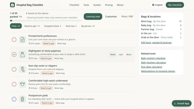
Hospital Bag Checklist
Free printable hospital bag checklist for mom, baby and partner.

AskMeety revenue: $2,000+ from private AI meeting notes on Mac
AskMeety records and organizes meeting notes on a Mac, with on-device transcription and summaries. Its founder reported passing $2,000 in revenue over about six months.
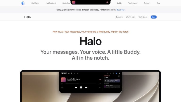
Halo revenue: $350+ in one week from a Claude Code-built Mac app
Halo turns the MacBook notch into a home for notifications, dictation, music, and coding-agent status. Its creator reported more than $350 in sales in seven…